- Create contours based on incoming depth data, track/mark files or survey files.
- Easy-to-use toolbar buttons to toggle displays.
- Update bathymetric data using ECC's vector charts as a base
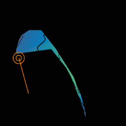
- Display solid gradient shading, as shown here, based on the Elevation Color Bar.
- Display hill shaded relief maps.
- Eliminate bad data points with the Eraser Tool.
- Automatically compensate for tide.
- Easily import and export data.
|
|
GLOBE, ECC GLOBE, Terrain Builder, ECC, and the ECC Logo are registered trademarks of Electronic Charts Company, Inc.
GLOBE-AIS is a trademark of Electronic Charts Company, Inc.
©1998-2006 Electronic Charts Company, Inc. All Rights Reserved.